Rhea’s team made innovative use of geophysical methods to define coal refuse impoundments where site conditions made conventional exploration techniques impractical.
Characterization of Coal Refuse Impoundment
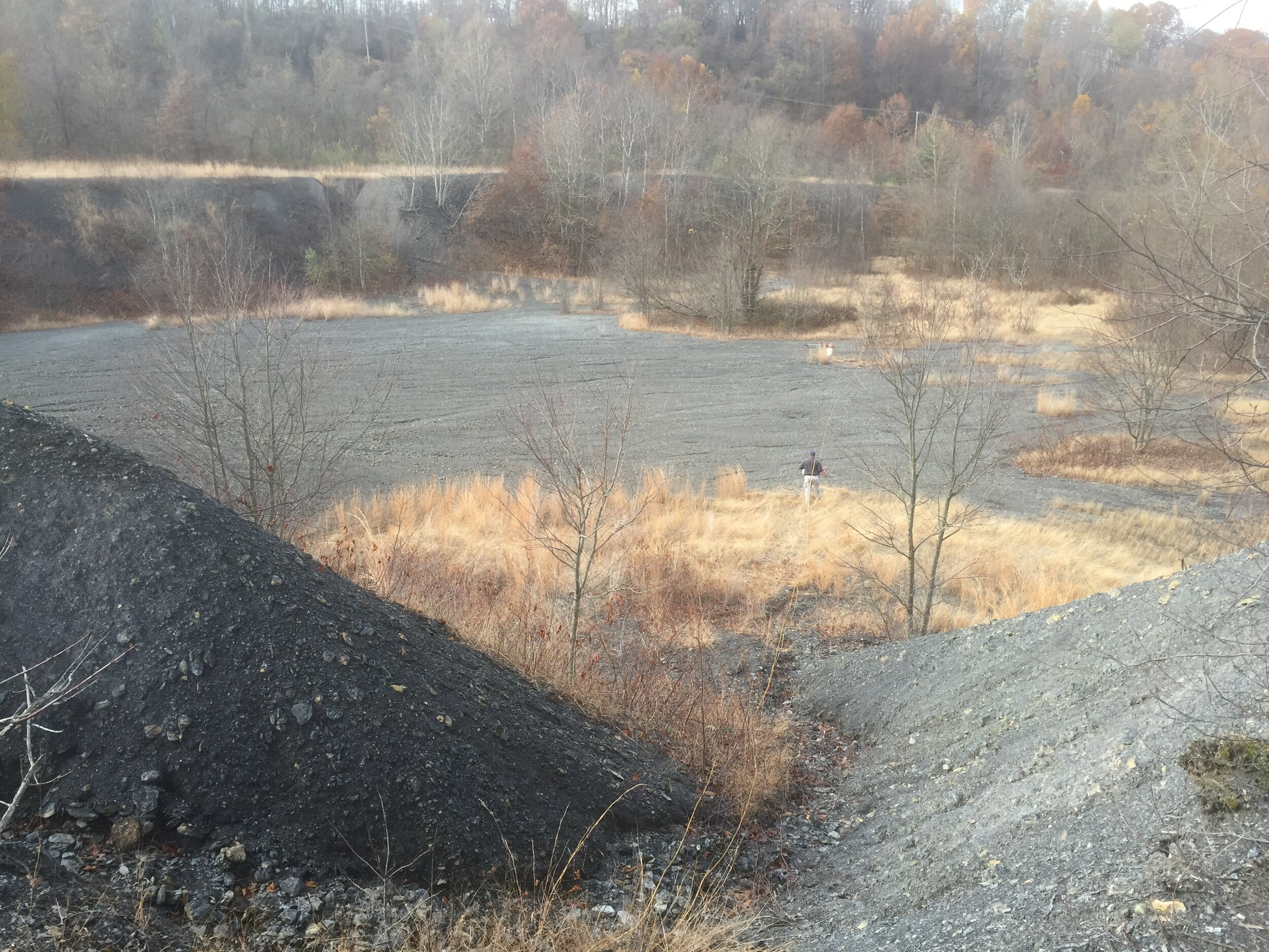
A western Pennsylvania abandoned mine site contained three fine coal refuse slurry ponds, constructed behind coarse coal refuse embankments. The total area of the ponds covers nearly 30 acres, but the lack of existing design documents made it impossible to determine the volume of fine coal slurry contained within them.
Rhea’s geophysical team conducted a DC resistivity tomography survey across the slurry ponds in order to identify changes in the physical characteristics of subsurface coal refuse. The resistivity results were interpreted, along with historic topographic maps and geotechnical borings, to identify the specific impact of the coal impoundments on the landscape.
Our analyses determined that the ponds’ slopes were steeper and volumes greater than previously estimated. This information was critical in selecting an appropriate method of site closure.
Services: Geotechnical Engineering , Geophysics
Industries: Commercial + Industrial